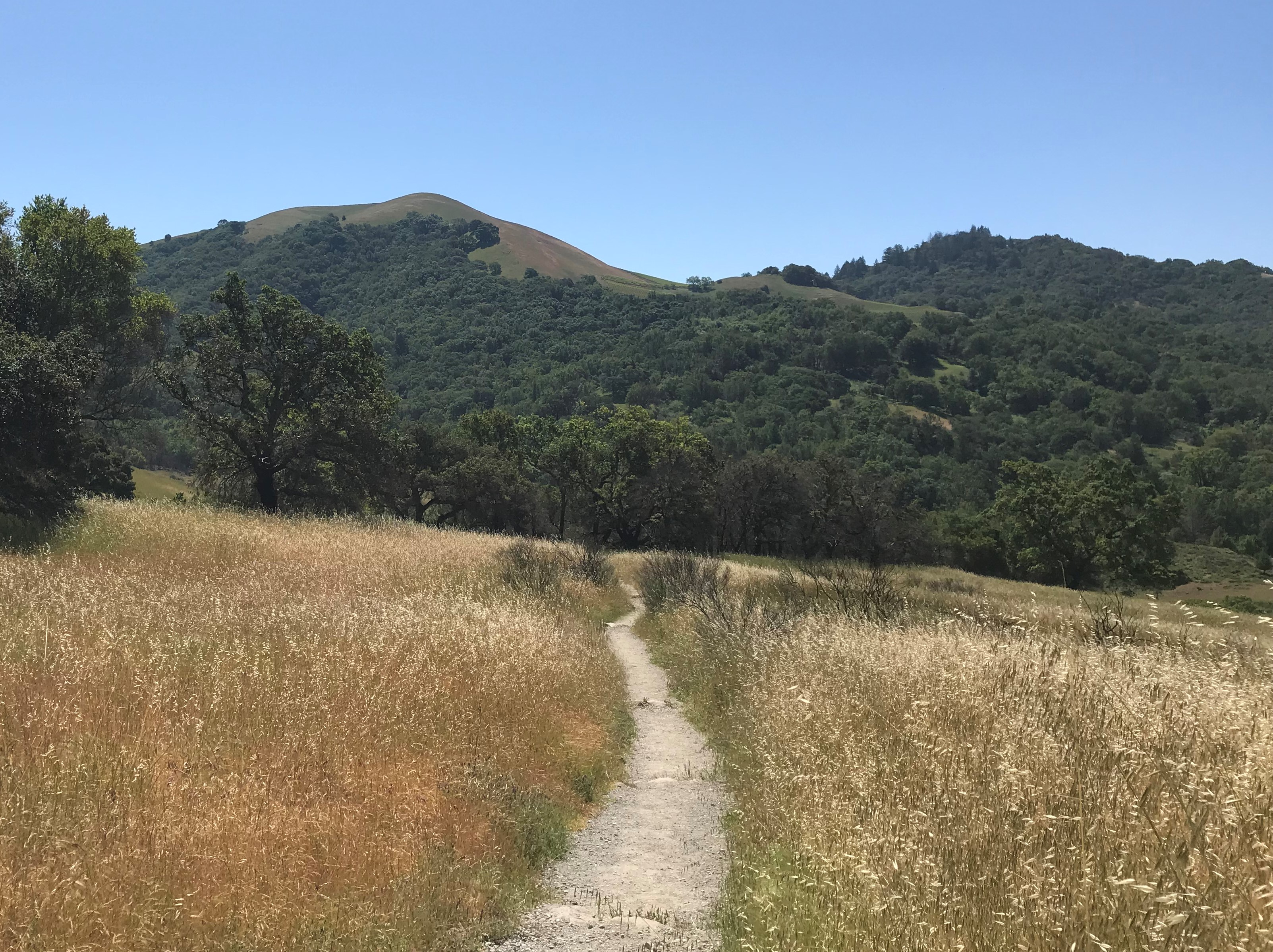
There’s a moment, somewhere out on the high plateau of Dolly Sods, when you stop walking and just look around — at the wind-bent red spruce, the rolling heath barrens, the boulders carved by centuries of weather — and think: this doesn’t look like West Virginia. It barely looks like anything east of the Mississippi. It looks like Canada dropped a piece of itself onto the Allegheny highlands and walked away.
That’s Dolly Sods. And once you’ve been, you’ll be planning your way back before you’ve even made it to the trailhead parking lot.
 A Wilderness Unlike Any Other East of the Mississippi
Dolly Sods is the highest plateau east of the Mississippi River, with elevations climbing from roughly 2,644 feet at the outlet of Red Creek to over 4,000 feet along the Allegheny Front. The entire area sits within the 17,371-acre Dolly Sods Wilderness in the Monongahela National Forest, part of the National Wilderness Preservation System in Grant, Randolph, and Tucker Counties, West Virginia.
The distinctive northern landscape of “the Sods” is characterized by stunted, wind-flagged trees, heath barrens, grassy meadows, and ancient sphagnum bogs more typical of southern Canada than Appalachia. To the south, the terrain shifts to spruce and hardwood forests thick with rhododendron and laurel, where Red Creek drops sharply through a steep canyon of swimming holes and small waterfalls. The two halves feel like different worlds, connected by nearly 47 miles of trails.
The Trail — What You’re Getting Into
The most popular Dolly Sods trail routes fan out from two primary trailheads — Bear Rocks to the north and Laneville to the south — and most serious visitors string together a loop that lets them experience both the open plateau and the forested creek valleys below. A classic balloon loop from Bear Rocks accumulates over 2,400 feet of elevation gain and reaches a maximum height of 4,170 feet, covering more than 20 miles of terrain — easily done in two days, though plenty of hikers stretch it to four.
The trail surfaces run the full spectrum. A mix of singletrack, old logging roads, and former railroad grades meanders between yellow birch and hemlock trees, sphagnum bogs, wide-open meadows, and cascading streams. Some stretches are grassy and soft underfoot. Others — particularly through the bog sections — are squelching, ankle-deep, and completely indifferent to whatever footwear choices you’ve made. Waterproof boots are not a suggestion. They’re a commitment.
Stream crossings are a regular feature of any Dolly Sods loop, and Red Creek will cross your path more than once. Under normal conditions these are manageable — knee-height at most, stones to step across, nothing particularly dramatic. Under normal conditions.
The Day It Rained
We need to tell you about the rain. We had done this trail before and thought, this would be very cool to do again.
It started on Tuesday and didn’t stop. By the time we arrived on Friday and started hiking in the morning, we saw nature at its finest. We met up with another through hiker that had been there for the previous three days and nights. They said they didn’t even bother to try to get a fire started, everything was so wet.
That still did not deter us. We marched on.
Then we met up with another group who maybe a mile into our hike we saw them camped out, waiting out the rain.
We had a small conversation with them and undeterred, we kept moving.
What we then encountered a trail crossing, and headed off in the direction we had intended from the start. A half mile later, we saw what had been clear crossings on our original hike a couple years previous had become something else entirely.
We reached that first stream and stopped. Due to the rain the stream was deemed to be unsafe to ford. Then we turn back, went back to the trail crossing and took the second trail. Also not safe to cross. Then the third.
All three crossings too difficult to traverse safely. Even the path itself had running water between 6″-14″ deep.
All three crossings were running fast — brown, swollen, loud in a way that moving water gets when it’s serious. The kind of rushing water that doesn’t care how experienced you are or how confident you feel. We stood at those banks and did the honest math.
Not worth tangling with nature, as in this case, nature was destined to win.
Three crossings. Each running between three and four feet of depth. Each moving with enough force to take your footing if you misread a step. There was no safe way across. Not that day.
So we turned around.
We’re not embarrassed about it. Dolly Sods is wilderness in the genuine sense of the word — streams can rise quickly during rain events, and it’s best to camp on the side of the stream you need to be on in the morning. We learned that lesson firsthand, standing at a crossing that 24 hours earlier had been a minor hop. The wilderness doesn’t negotiate. And the right call on that day was the turn-around, not the wade.
It made us respect the place more, not less. And it gave us one more reason to go back.
Camping in the Sods
Dispersed camping is permitted throughout the wilderness, which means you can set up almost anywhere the terrain allows — as long as you stay at least 200 feet from roads, streams, and trails. No reservations, no fees, no designated sites with numbered posts. Just you and the ridgeline and however many stars manage to appear between the clouds.
The most scenic camping sits up on the high plateau, where you wake up above the tree line with nothing between you and the horizon. On clear nights the sky here is remarkable — the plateau is remote enough and dark enough that the stars feel close in a way that never quite happens closer to civilization. Evenings in the heath barrens, with the wind moving through the low shrubs and the last light going off the boulders, are the kind that make you forget what day of the week it is.
Red Creek itself offers beautiful streamside camping in the forested lower sections, though the lesson above applies: set up on the side of the creek you’ll need in the morning, and pay attention to what the weather upstream is doing.
Getting There — and the Parking Reality
From Petersburg, follow WV 28/55 south to Jordan Run Road, then turn right and go one mile to Forest Road 19. Turn left and follow FR 19 six miles to the Dolly Sods Scenic Area, with the wilderness directly ahead at the intersection with FR 75.
Forest Road 75, the access road to Bear Rocks Trailhead, is a rough gravel road. A wooden trail kiosk marks the trailhead, with parking along the road shoulder. The honest word on parking: Dolly Sods has become genuinely popular, and weekend mornings in season — particularly spring through fall — will find those shoulder spaces filling fast. Arrive early. The trail is worth the 6 a.m. alarm.
No blazes mark these trails. Bring a map, download AllTrails or a GPS app before you lose cell service, and don’t rely on signage at intersections. This is wilderness navigation, which is part of what makes it feel like the real thing.
Go. And if the water’s too high when you get there — go again.
Journey Moore Often, because the trails that turn you around once are the ones that bring you back for good.
Dolly Sods Wilderness | Monongahela National Forest, West Virginia Access via Forest Road 19 / Forest Road 75 | No permit required | Dispersed camping throughout