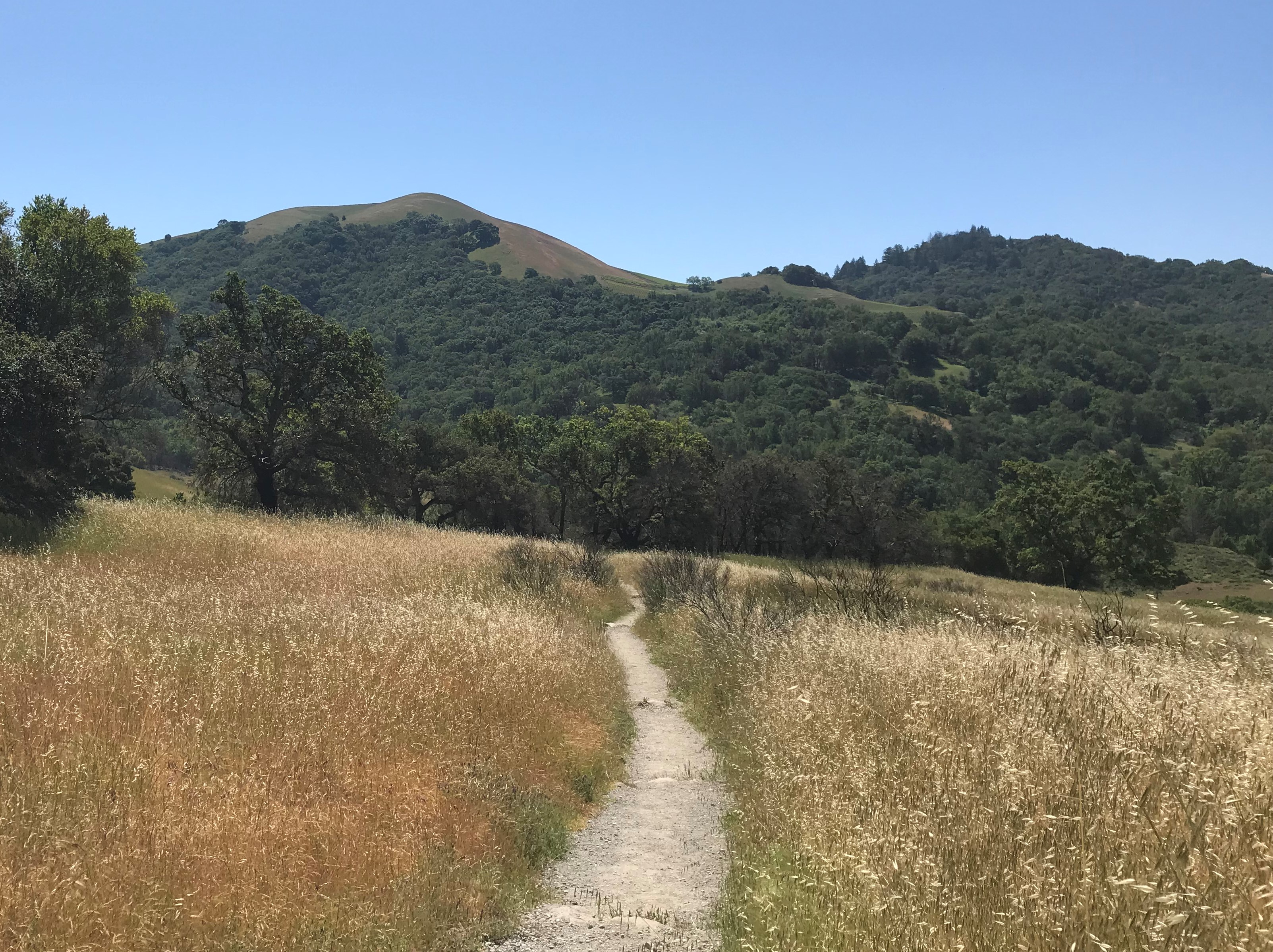
It was our first weekend camping trail experience. An over 40 mile hike for a weekend?
We prepped as much as we knew, and as a result, we got a late start…7:30pm…in the dark…in a different location than we thought we were based on the field notes (read more about that below).
After hiking three miles in the dark, we pitched our tent in the dark.
That first night was cold. It was October, so the temperature went down to around 40 degrees, and as we had on a ridge, we got the “benefit” of a 40mph wind whipping across the ridge. Needless to say our first night was restless.

But…we woke up to a gorgeous sunrise overlooking the mountains. Score!

The Allegheny Front Trail will recalibrate your definition of a hiking trail.
Most trails in Pennsylvania ask you for a few hours and give you a nice view at the end. The Allegheny Front Trail asks you for two to four days, takes everything you brought with you, and gives you something that takes considerably longer to process.
We did the trail in less than 48 hours, and in retrospect, would’ve stretched that out a bit.
It is 41.9 miles of wilderness loop through the Moshannon State Forest in central Pennsylvania — no services, no shortcuts, no rescue plan other than the one you made before you left. It is classified as strenuous, and it earns that rating honestly.
It is also one of the most beautiful long-distance hikes in the entire state. These two facts are not unrelated.
We noted for future hikes to start earlier. We got better at it for the West Rim Trail, Dolly Sods Trail, and Old Logger’s Path Trail.
Where You Are
The Allegheny Front Trail forms a complete loop roughly encircling Black Moshannon State Park in Centre County — deep in the Pennsylvania Appalachians, about 20 miles east of Phillipsburg and a similar distance west of State College. The terrain sits on the Allegheny Plateau, a vast elevated tableland of dense forest, mountain streams, bog wetlands, and rocky ridgelines that feels genuinely remote in a way that the more accessible Pennsylvania trails don’t.
There are no ski towns here. No nearby outlets. Cell service is inconsistent at best and nonexistent most of the time…so please plan accordingly.
The forest fills the whole horizon in every direction, and in October the whole thing turns amber and copper and gold in a way that stops you cold on the trail.
Fall in these mountains is not a casual backdrop. It’s an event.
The Trail
The full loop covers 41.9 miles, marked throughout with yellow blazes — well-maintained and reliable enough that navigation is manageable with the DCNR trail map, though the terrain complexity rewards carrying a backup. The trail can be hiked clockwise or counterclockwise, with most experienced hikers and the AllTrails community recommending the clockwise direction for the best flow of terrain and campsite sequencing.
The loop crosses Pennsylvania Route 504 twice, dividing the trail naturally into eastern and western halves. The east loop — approximately 31 miles incorporating the cross-connector Shingle Mill and Moss Hanne trails — is the more popular segment for a shorter multi-day backpacking trip, and is considered the more forgiving of the two in terms of elevation change. The full loop takes most backpackers between two and four nights depending on pace, fitness level, and how long they spend at the overlooks.
And the overlooks are worth time. Eleven designated vistas are distributed across the loop, several of them looking out over the plateau forest with nothing between you and the ridge line but a few thousand acres of unbroken Pennsylvania wilderness. The Wolf Rocks formation — a dramatic boulder field perched at the edge of the plateau — is one of the trail’s defining moments, with a view that opens up suddenly after a ridge climb and catches first-timers completely unprepared.
The terrain shifts constantly and keeps your attention throughout. The trail traverses boardwalks over bog wetlands in the state park section, follows five mountain trout streams in the valleys, climbs onto high plateau stretches where the wind picks up and the forest opens, then drops back down through dense hemlock and rhododendron tunnels that filter the light into something close to green dusk at midday. Some creek crossings have bridges. Some don’t. Plan for wet feet on a full loop.
What Experienced Hikers Say
This is one of the better-documented trails in central Pennsylvania, and that documentation is worth using before you go. Experienced hikers on AllTrails, Jeff Mitchell’s Hike Pennsylvania blog, and various backpacking forums have logged detailed, step-by-step trail journals covering the entire loop — including notes on individual creek crossings, rock formations, campsite locations with GPS coordinates, water source reliability by season, blowdown sections that haven’t been cleared, and the specific spots where the yellow blazes become harder to follow. These journals are not casual — they read like field notes, written by people who did the trail and immediately wanted to spare the next person the mistakes they made.
Read at least two of them before you go. The trail rewards preparation, and the community around it is generous with its knowledge.
And if you are following them, make sure your starting point is aligned with the log. We started at the wrong section of the loop, so for the first few miles we were very confused until we figured it out.
Wildlife and Hazards
The Allegheny Front Trail runs through genuine backcountry, and the hazard list reflects that. Rattlesnakes are present and have been encountered by multiple hikers, particularly on rocky south-facing slopes in warmer months. Black bears are common in the Moshannon Forest and should be treated with appropriate food storage discipline — hang your food or use a canister. Ticks are prevalent from spring through fall. Mosquitoes are significant in the bog sections through summer. None of this should discourage you. It should inform your preparation.
Wildlife beyond the hazard category is extraordinary. The bog areas around Black Moshannon State Park support rare wetland bird species, including nesting warblers that draw serious birders from across the state. Whitetail deer are abundant throughout. The trout streams are genuinely beautiful and active with native brook trout in the clearer upper sections.
Fall in the Mountains
There is a specific quality to October mornings on the Allegheny Plateau that is difficult to describe without sounding like a tourism brochure. The elevation runs between roughly 1,800 and 2,200 feet throughout the loop, which means the color change arrives earlier and harder than in the valleys below. By mid-October the entire trail can be running through tunnels of orange and red, with leaf fall thick enough on the ground to muffle your footsteps and obscure the blazes on the lower tree trunks. Temperatures at elevation can swing 30 degrees between a cold night and an afternoon with full sun breaking through the canopy. Mornings at camp in the mid-elevation sections run cold — genuinely cold — from late September onward.
This is also when the trail is at its most beautiful by a significant margin. The tradeoff is completely worth it.
Practical Details
Two trailheads sit on Pennsylvania Route 504 near Black Moshannon State Park, and parking is available at both. The state park entrance also provides the closest access to modern restrooms, potable water, and picnic facilities before you head out. No permit is required for backpacking in Moshannon State Forest, though dispersed camping follows Leave No Trace guidelines — camp 200 feet from water sources and established trails.
Download the DCNR Moshannon State Forest map before you lose cell service. Carry more water filtration capacity than you think you need. And check the weather forecast for State College and Philipsburg — mountain conditions at elevation can diverge significantly from the valley forecast in fall.
Journey Moore Often — because some trails don’t ask you to push yourself. They simply start walking and expect you to follow.