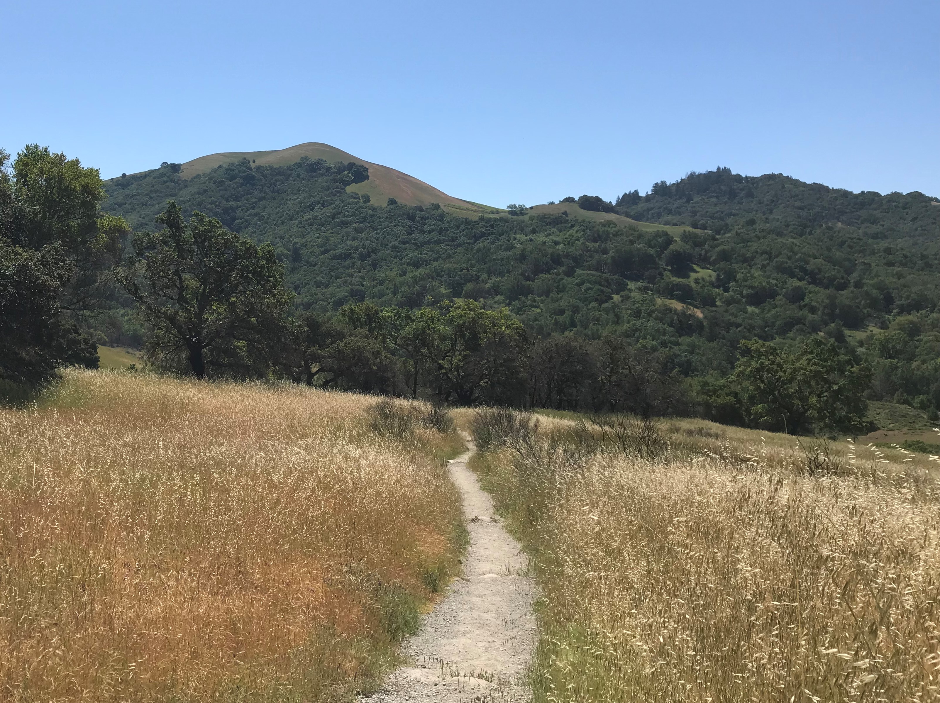
It’s a series of trails that bicycle riders, hikers, hikers with dogs, and even horses (in limited sections) can enjoy.
It’s difficult to understand the extent of the trail system unless you research it or someone tells you about it, or like us, we just kept going and discovered more links to more trails. And it’s not finished yet, it’s planned to get even longer!
We’ve known about the PA and White Clay Creek trails for a while, but we first discovered the downtown Newark, DE section while in the process of Selecting OUR Bikes. Elliot from the Trek Bicycle Store told us there was an “off road trail” to test the bikes safely. Near the Trek Store, from first glance, it looks more like a paved bituminous sidewalk in an urban area. The signs however, offer the adventure of a new journey.
The Newark and Pomeroy Rail Trail
At the trail’s intersection with Newark’s main street, there’s a covered bench with a bicycle pump and tool station.
 If you bike/hike on Pomeroy South, the trail meanders through neighborhoods and parks along the Amtrak rail lines.
Heading north, from the Newark Shopping Center, the trail follows the old railroad tracks and crosses over the major five points intersection. It is a really busy intersection. However, fear not. The signage and signals are well placed to allow both hikers and bikers to cross safely.
As one continues to move north, there are a number of local connections including a residential neighborhood and the University of Delaware’s Pencader Complex. Along the way there a number of call boxes for emergency situations.
Eventually the trail diverts from the railroad track bed to connect with Old College Avenue, Creek Road, and a trail towards the west that ends up at Freemont Road, only a few hundred feet from the southern Delaware SR896 entrance of Fairfield Park.
 The Tri-Valley Trail
From this point on, the surroundings become more rural with a nature like setting. This trail is still the Pomeroy Trail, but it is also known as the western section of the Tri-Valley Trail we previously wrote about. There are trails on both sides of the White Clay Creek.
There is a point where the trail splits in two. The west side continues along the road and the east side goes over the White Clay Creek Trail Bridge. This is a great spot to relax and enjoy nature and the creek. There are a couple of benches to sit and enjoy the view. Cyclists can ride on either side of White Clay Creek until arriving at Hopkins Bridge Road.
There is a new bridge crossing about a mile after the first bridge. It allows you to switch sides and there’s a kiosk with all sorts of information regarding all the local trails.
Not too much further down the trail, you’ll meet up with a small marked trail on the west. That trail is a walking trail that takes you to the “arc corner” of the Delaware-Pennsylvania border.
 Creek Road Trail
At the Hopkins Bridge Road crossing, the trail becomes the White Clay Creek Trail, or Creek Road Trail to the current end. The crossing has plenty of visibility, but since the bridge was replaced over the White Clay Creek, the cars now move even faster than they used to.
The first section of the White Clay Creek Trail is Tweeds Mill Road until it reaches the White Clay Creek State Park Nature Center. At the nature center, there’s parking (not free), bathrooms, and a bicycle pump station. If you want to visit the nature center, you’ll want to their website to make sure they’re open when you’re going.
After the nature center the road narrows and becomes gravel, then crosses Chamber’s Rock Road.
Be careful here, as this crossing there is less safe. The road is smaller, less visibility in both directions and the cars travel fast on this road as well.
From here the trail gets small for bicycles and is a bit on the rocky side. On the rough side even for hybrids.
The trail then turns back into a gravel road. Shortly after, you’ll see a small trail sign depicting the arc for the border between Pennsylvania and Delaware. (this is the same arc mentioned above with the trail to the corner)
At some point you’ll reach a stream crossing where the bridge is out. It’s not a very large stream, so you can either carry your bicycle across or turn around. We watched someone do it while we were there.
Once you’re beyond the bridge, it’s only a about a half mile to the White Clay Creek preserve. At this location there is a ranger station and parking lot. Next to the station is the church with the ticking tomb.
Practical stuff
Parking is always clutch. It’s always best to know where to park before you leave. For this series of trails, there is ample parking and a good bit of it is free. There’s parking available at Newark Shopping Center, Curtis Mill Park (off of Paper Mill Road), in White Clay Creek State Park proper, and at the north end in Pennsylvania in White Clay Creek Preserve parking lot near the London Tract Church. All the parking with the exception of Delaware State parks should be free.
Be careful NOT to park in any University of Delaware parking lots. They are really good at monitoring their lots, so it’s best to avoid them altogether.
