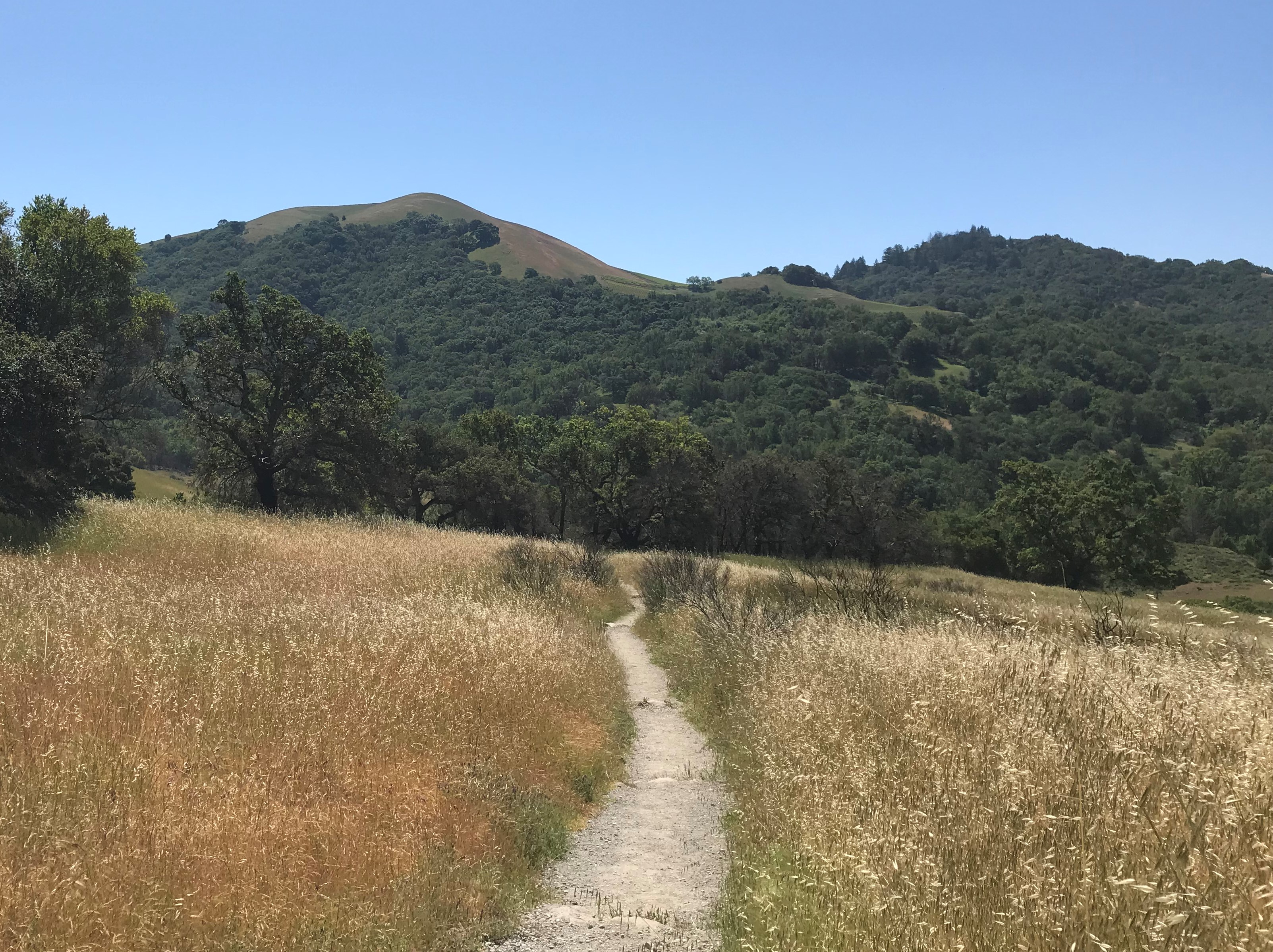
It started out as a work trip to Frostburg, MD. We decided to go and stay a couple of days for a small hiking vacation in the middle of COVID-19. What we ended up discovering was an experience that would ultimately helped establish our JMO Plans for 2021 during COVID-19.
 The Trail Itself
The Great Allegheny Passage Trail (GAP Trail) is a rail trail that extends 150 miles from Pittsburg, PA to Cumberland, MD. It is an abandoned rail line converted into a biking/hiking trail. The nice thing about rail trails is that because they are formerly used by trains, the railroad tracks are very seldom steeper in incline than 1.5 percent grade.
 The GAP Trail crosses the Mason-Dixon Line at the border between Pennsylvania and Maryland. It tops the continental divide between the Atlantic Ocean and the Gulf of Mexico via the Mississippi River Watershed.
And as you can see from the map above, it doesn’t stop there. From Cumberland, MD, you can take the old Chesapeake & Ohio Canal towpath all the way into Washington, DC!
But before you get too excited, we did not hike the whole trail. In our defense, we didn’t even realize it was that huge a trail until we got to Frostburg and started poking around (check out our Setting up our Great Allegheny Passage Trail Hike). Our initial intent was simply to hike Frostburg local area trails.
Let’s say we were more than pleasantly surprised by the short piece that we hiked. Experiencing the GAP Trail as hikers, left us more than intrigued and wanting for more.
Getting Our Hike Started
We set up our Great Allegheny Passage Trail hike shuttle arrangements the day before. Our shuttle driver, Steve Walker, picked up us at the Frostburg, PA access point where we left our vehicle. While riding he informed us that the trail was uphill for maybe the first mile. About 20 minutes later he dropped us off at the Deal, PA access point. We checked out our surroundings and started walking!
The Sights and Landmarks
Our first milestone was coming across the Eastern Continental Divide. The divide separates the Gulf of Mexico (Mississippi-Missouri Drainage Basin) and the Atlantic Ocean (North Atlantic Drainage Basin). It was demarcated by the bridge abutments for the road that pass overtop of the divide. At 2392 feet above sea level, it represents the highest point along the GAP trail.
As we left the Gulf of Mexico behind us, it would be downhill (mostly) from here.
About two miles later we came upon the Big Savage Tunnel. The tunnel is 3294 feet long or about 6 tenths of a mile. Walking at 4 miles per hour it takes about 13 minutes to walk from entrance to exit. It has lights, but it is still a bit on the dark side. It would’ve been handy to have a flashlight or headlamp. Be forewarned though, the tunnel is closed from late November to early April.
Shortly after coming out of the Big Savage Tunnel, there was a comfort station and rest area with picnic tables and benches.
It even included a station where you could perform bike repairs or pump more air into your bicycle’s tires. They had practically even tool known to a biker.
The view from the benches was spectacular, we were definitely blessed with good weather and visibility when we went. We sat and ate lunch while enjoying the view.
Not much more than a mile later, we came upon the Mason-Dixon Line. The Mason-Dixon Line and at this location is a west/east border line separating Pennsylvania from Maryland. It was established in the mid 1760s.
The Great Allegheny Passage Trail staff have done an excellent job of exhibiting the line where it crosses the trail.
Cruising to the End
The next item of interest is not mentioned in most trail information. The abutments of a bridge that we think may have been used by a logging company, allowing them to haul trees over the rail tracks without disturbing rail traffic.
After hiking a couple more miles, we came upon the Borden Tunnel, which is about 957 feet long.
From the Borden Tunnel it was a quiet hike to the Frostburg Access Point.
The Wrap Up
Once again, we had a great hike. It took us around 3 hours and 20 minutes to hike close to 9 miles. At an average pace of 2.64 miles per hour that’s not too shabby. And that’s with stopping a few times along the way to take pictures and enjoy the views.
