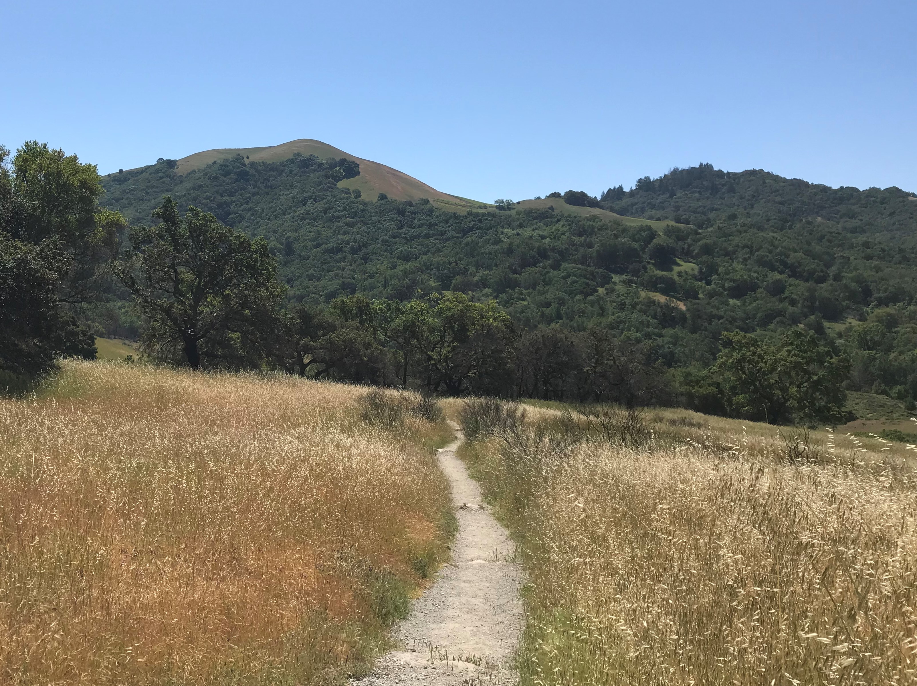
What a fabulous trail this is!
Having been to Hawaii once before and discovering Hiking in Hawaii, we found this hike after doing a little research. The Kuli’ou’ou Ridge Trail is an Out and Back trail (types of trails are further described on our Nature-Hiking page). It is around 2.75 miles each way with an elevation change of roughly 1750 feet. It is a fun challenge, but even a relative novice can succeed if properly prepared.
Water and snacks are helpful as it takes most a few hours to negotiate the trail. Trekking poles are a huge help and you won’t be sorry if you bring them. Particularly for The Descent (see why below).
The Trail
The head of the trail is at the end of the cul-de-sac, at the end of Kalaau Place in a neighborhood in the Kuli’ou’ou Valley off of Kalanian’ole Highway just east of Waikiki in the island of Oahu. Please note that vehicles are not allowed to park in the cul-de-sac.
When we were there the trail head wasn’t as well marked, but was still relatively easy to find. As there have been some trail improvements, it’s a lot easier to find now. Make sure you don’t go towards the left and end up on the Kuli’ou’ou Valley Trail. Unless that’s what you want to do of course. After all, there are 6+ waterfalls to see on that hike.
As soon as you pass the split between the trails, you’ll begin to ascend with a series of switchbacks. You’ll rise very quickly to the ridge. Along the way, you’ll walk on some of the comfortable trails you’ll ever encounter. They’re covered with pine needles and almost feel like you’re on a cushioned path.
Once on the ridge, the slope is gentler as you take the ridge to the end. The top starts out very wide (enough to have a picnic area). After a few minutes the trail becomes narrower and ultimately ends up being about 18″ wide with 1500 feet drops on either side. No worries, the trail is stable and solid, just don’t look down.
The Real Climb
If you thought the switch back climb was challenging, then you’re wrong. The trail ends just prior to the steep climb up to the upper ridge. There’s another climb after the official end of the trail that takes you up to where the ridge you’re on meets another ridge.
This climb is one hundred steps after the end of the trail. That’s correct, 100 steps, and not 8″ per step like a normal step.
It takes a lot of effort to climb up all the steps and fortunately they’ve been upgraded since we were there. Even still, it’s not much easier, just safer.
Once we got finished the climb, we found ourselves on a fairly large plateau, maybe 30 feet by 50 feet.
The Views
Every so often there are scenic viewpoints where you can look at the valleys on either side of the ridge trail.
At the top, there were some outcrops that braver people could climb out on and greater enjoy the view.
 The intersection of the ridges is a 360 degree panoramic view. You can see three valleys, and the views were gorgeous. The view from the top was breathless.
Unfortunately there was a weather pattern pushing through so the sun we had on he climb up was replaced with some fog. The fog was rolling in pretty fast, but we at least were able to get some semi-decent photographs of the three valleys while we were on the top.
The Descent
What’s the saying? What goes up must come down?
This is where it gets the hike interesting. Going up definitely feels more laborious than difficult. Coming down, it’s exactly the opposite.
Here’s where the trekking poles we mentioned earlier come to play. Even if you’re the most sure footed person on earth, there are several spots were a “third” of even “fourth” leg is hugely welcome for added stability. More than once on the way down the trekking poles were worthwhile.
Challenging, but not too hard. A great way to exercise and enjoy some fabulous views!
