We woke up to frost on our tents. It was cold, really cold. Our cell phones told us it was 17°, well below freezing.
 The fire only helped so much and we knew our best option was to get moving on the trail as quick as possible.
The Trail
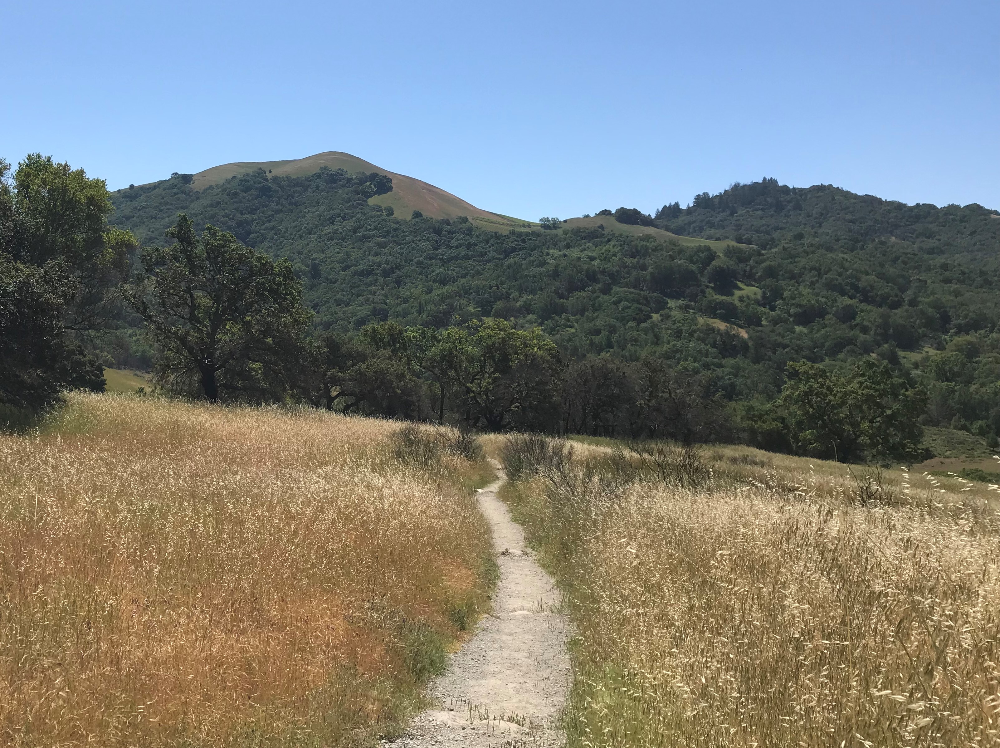
Traversing the western edge (hence the name – West Rim Trail) of the PA Grand Canyon, this trail is some 30+ miles in length with elevation changes of 5600 feet. Definitely not for the faint at heart.
But…the views from the vistas are spectacular. You can see Pine Creek and the rail trail (Pine Creek Trail). The views are even better in the fall as the leaves change colors.
The trail meanders and cuts back into the canyon draws. The draws can be over a mile, one half mile in, then a half mile back. They typically cross streams, so draws make for a great spot to camp. Unless like us, we camped late in the fall and we woke up freezing. But that was our fault for going in November (that’s what we affectionately refer to a “tactical error”).
Going in November had one huge advantage. No one else was on the trail but us. That made the stark beauty along the trail incredibly peaceful.
We did camp on the rim one night, and since the rim faces the east, we got to see the sunrise over the mountains.
The Experience
We hiked the trail in November of 2011 over a weekend. Well, actually in less than 48 hours. It was more than aggressive than we should have been and not recommended for all. We still had loads of fun though. We just weren’t able to hang out and enjoy the sites as much as we would’ve liked. In hindsight, we would have either started earlier on Friday (noon versus 4pm). Nevertheless, we logged that in our minds for future hikes.
All in all, the trail is challenging and very fun to hike. The scenery throughout is gorgeous and well worth the effort.
Helpful Details
It’s easy to obtain information ahead of time. We learned from researching our first hiking trip of the Allegheny Front Trail (AFT) in 2010. You can “Google™” almost anything nowadays. Typing “West Rim Trail” gets you a very nice clear map, but not the whole map. You have to search a little further to get the more detailed one.
The WRT is a point to point trail, which meant we would either have to have a car at both ends, or hire a shuttle service to move our car. We chose the later and stopped off at the Pine Creek Outfitters to give them the keys to move our car. It only cost $30 for the service when we went in 2011, and they still do it now, but it’s $55.
And it’s still well worth it in our opinion.
The reason we believe it’s worth it? By the time you shuttle your vehicles from one end to the other yourselves, it’s a good 40 minutes. Twice. Because you have to leave a car at one end then travel to the other and park just to start hiking. When you’re done hiking, you do the same thing in reverse, so it’s a total of almost 3 hours shuttling on your own.
Final Anecdote
From a safety perspective, you’ll need to know there are bears and rattlesnakes along the trail. In November we didn’t expect many rattlesnakes. However, we knew bears would be prepping for hibernation by filling their stomachs before winter was upon them. We jokingly labeled that whoever was the person furthest in the back as “bear bait”. Fortunately we didn’t see any. We did take precautions such as ensuring our food was separate from our sleeping quarters and hanging in the air.
Obviously there’s a lot more to a weekend hike than we’ve mentioned here. From your checklist prior to leaving, to picking up your car at the end, it’s important to research and address as many issues as possible. For us, we use a similar strategy for each trip as we did with our Setting Up Our Northern Virginia Trip.
The more prepared you are, the more you can relax and have fun!

