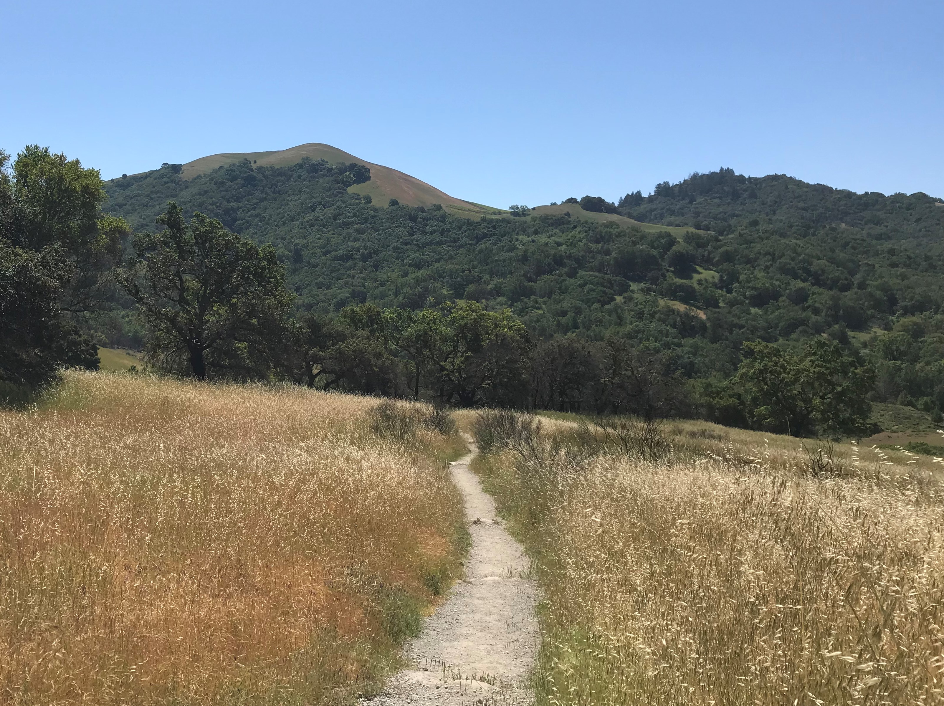
As a premier hiking trail in Sugar Loaf Ridge State Park, the Bald Mountain Trail is 6.6 miles long and has 1529 feet of elevation change, so it’s considered a moderate to strenuous trail, which takes an average time of 3.5 hours to complete. Of course if you stop to take pictures and enjoy the views like we did, it will take somewhat longer.
Though the park is only seven miles east of Santa Rosa, getting there is a little tricky, but only because shortly after you turn off of State Route 12 onto Adobe Canyon Road it becomes a small country type road that you have to travel for a couple miles, and without clear directions, we started to wonder if we were headed in the right direction. While it was 15.5 miles from where we started in our VBRO apartment, it was only about 8 miles “as the crow flies”.

While we were there on a week day, there appeared to be a fair amount of parking available. The cost per person was nominal ($6) and we were happy to pay in order to support and preserve the park.
There are a few camping spots that you can either bring a camper, or a tent and enjoy the park overnight as well. At the edge of the Sugarloaf camping area there’s a small camp store that sells all the essentials like water, snacks, first aid kits, even portable backpacks made by Wilcor Outdoors.
The staff was very knowledgable and we were able to inquire as to determine the best hike for us which turned out to be the Bald Mountain Trail. Others have hiked and documented the trail online with additional data which helps with both navigation and what to look for.
We started on Lower Bald Mountain Trail, choosing to hike in a clockwise direction, of which a good portion is a small paved road, large enough for one car or a small truck.

Between the elevation change and the scenary, it takes a while to hike to the top.
Hiking the trail after the wildfires in CA, it was interesting to see how that affected the park. There were areas where the fire hit harder than others, and some places seemed to get skipped altogether.
Once you get to the top, there’s an incredible panoramic 360 degree view. You can literally see miles away and on clear days, you can see the Golden Gate Bridge.
Hiking tip – what we found is that in going clockwise, when we started descending the trail was dirt and often slippery, not because of mud, but dust. If we were to take the trail again, we would reverse the direction, making it easier to negotiate.

![IMG_0071[1] IMG_0071[1]](https://i0.wp.com/journeymooreoften.today/wp-content/uploads/2018/09/IMG_00711-e1538248794149.jpg?w=556&h=741&ssl=1)
![IMG_0072[1] IMG_0072[1]](https://i0.wp.com/journeymooreoften.today/wp-content/uploads/2018/09/IMG_00721-e1538248808135.jpg?w=556&h=741&ssl=1)